It has been a boring week so far, but tonight I will repeat one of my past blogs. This one was entitled "The Bends". (I am adding some stuff at the end of more historical interest.)
Today, I decided to write about a local waterway, namely the Chenal Ecarte or Snye River. It is a unique winding and scenic watercourse that is a distributary of the St. Clair River flowing into Lake St. Clair. The Sydenham River, running through Wallaceburg, flows into it at a bend west of town.
The name is French, but somewhat unclear in its meaning. Loosely, it means 'apart', or 'separate', probably referring to the fact it branches off the St. Clair River. It was sometimes called the "Lost Channel", as early explorers thought it seemed to go nowhere! It was sometimes called Snye Carte as well.
The Snye borders Walpole Island and St. Anne's Island, and at one bend, branches into the Johnston Channel. As a boater, I spent lots of time on Snye, with the Johnston being my favourite. The latter waterway is a story for another time!
We have had several boats over the years, which were well-utilized to traverse the local waterways.


The Chenal Ecarte is a deepwater channel all the way to Lake St. Clair. Wallaceburg was once one of the busiest ports in the province, hence the Snye was a good navigable waterway. There is a good list of ships that plied these waters, both passenger and cargo.
 |
| Put-In-Bay |
The land is so flat around this area, that the Snye can reverse its flow when certain conditions are met. For example, when the Sydenham is running high in the spring, the Snye will reverse from the "forks" to the Johnston Channel and flow out the Johnston.
In rarer events, the entire river will reverse and flow back into the St. Clair River at Port Lambton! (I have seen this a couple of times).
There are some sharp bends, four in particular, that had unique names. These often presented challenges for larger ships.
The attached Google Image shows the Chenal Ecarte, with the bends labelled. As well, there are other points of interest. Wallaceburg would be in the top right.

Bend "A" is the Johnston Bend, appropriately named where the Johnston Channel begins. It is a fairly wide bend.
 |
| Johnston Channel |
Bend "B" is the well-known dark bend. There is thick forest on St. Anne's Island creating a shade later in the afternoon. It is a scenic spot, often photographed as shown in the following post cards.


It was always one of my favourite spots, as one could see or hear many birds.
 |
| Approaching Dark Bend early morning |

Just before "Dark Bend", there is a spot on St. Anne's Island where the bones of Chief Tecumseh were allegedly buried after being removed from the Thamesville area. The Thamesville site is near the east end of Baseline Road. If one follows this road due west (and it is a perfectly straight line), it ends at the Snye west of Wallaceburg. Here one can see St. Anne's Island, and this is where the bones of Tecumseh were allegedly buried! I have the info on that story, but that is a story for another time!
A short distance downstream is Bend "C", "Devil's Elbow". It is the sharpest bend in the river, hence its name.
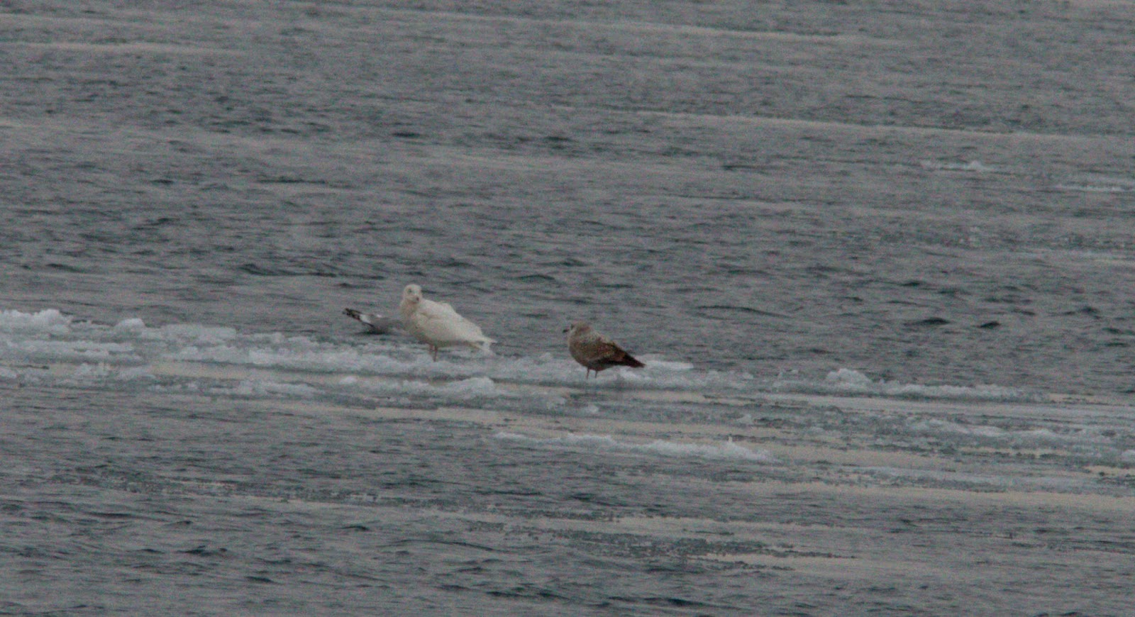
 |
| Green-winged Teal in early summer |
Heading downstream from there, one passes the area of the original Baldoon Settlement, established in 1804 by Lord Selkirk. It was somewhat of a failure due to the swampy terrain not very suitable for farming, heavy clouds of mosquitoes in early summer, and long winters.
We soon come to Bend "D"....you guessed it, Baldoon Bend. It was another fairly sharp bend. One is getting close to Wallaceburg at this point!
 |
| Jolly Tiger II approaching Baldoon Bend |
Not too much farther, one comes to a fork in the river, "E", where the muddy Sydenham flows into the Chenal Ecarte. Here one can find an abrupt change in water colour. You can actually see this in the image! The emerald colour of the Snye, mixes with the mud-coloured Sydenham. I always remembered this when I was young, going by in the boat.
From here, the Snye winds several kilometres southward until it reaches Lake St. Clair near Mitchell's Bay.
Label "1" on the Google Image is a point of interest, but it lies in the depths. The Snye averages around 25-30 feet deep its entire length, but here there is a "hole" about 90' deep. Why this is here, nobody knows! If one pays attention at this spot when travelling by boat, you can see whirlpools at the surface over this deep spot.
Divers have descended on this spot and found the remains of oxen and a cart perhaps from the early 1800's, along with other artifacts. Perhaps the river did not freeze as much here, and winter travellers were unaware of the dangers.
I do not have a boat now (!), but the Chenal Ecarte was always one of my favourite boating routes for birdwatching and its spendid scenery.

Wallaceburg was once known as Canada's Inland Deepwater Port where many ships traversed the waterways to the port. One was the Glenlyon, which had a storied history. You can read about it here:
http://iri.forest.mtu.edu/Shipwrecks/Pages/Glenlyon.htm
The Glenlyon came into Wallaceburg twice, in June 1915 and November 1921.

Several photo were taken in 1921 as the Glenlyon attempted to turned around at the "forks",

 |
| Glenlyon and tug Rooney |
The Glenlyon lasted until 1924 when it foundered during a storm on Lake Superior.